Amed Snorkeling
Site Map

Amed Snorkeling Map

Amed's snorkeling zones stretch eight kilometers along Bali's northeast shore, each accessible by foot or motorbike. The reef sits 10–50 meters offshore at most sites, and entry points range from rocky outcrops to black-sand gradients.

7 min read Updated 2026-09-23 Fact-checked
Amed Snorkeling Map

Quick answer

The Amed snorkeling map covers seven primary sites between Amed village and Bunutan, all free to access from shore. Jemeluk Bay and the Japanese Shipwreck anchor the northern cluster, while Lipah Beach and Ghost Bay define the southern end. Most reefs lie within 30 meters of the beach, with drop-offs starting at 3–5 meters depth. Parking costs 5,000–10,000 IDR per site.

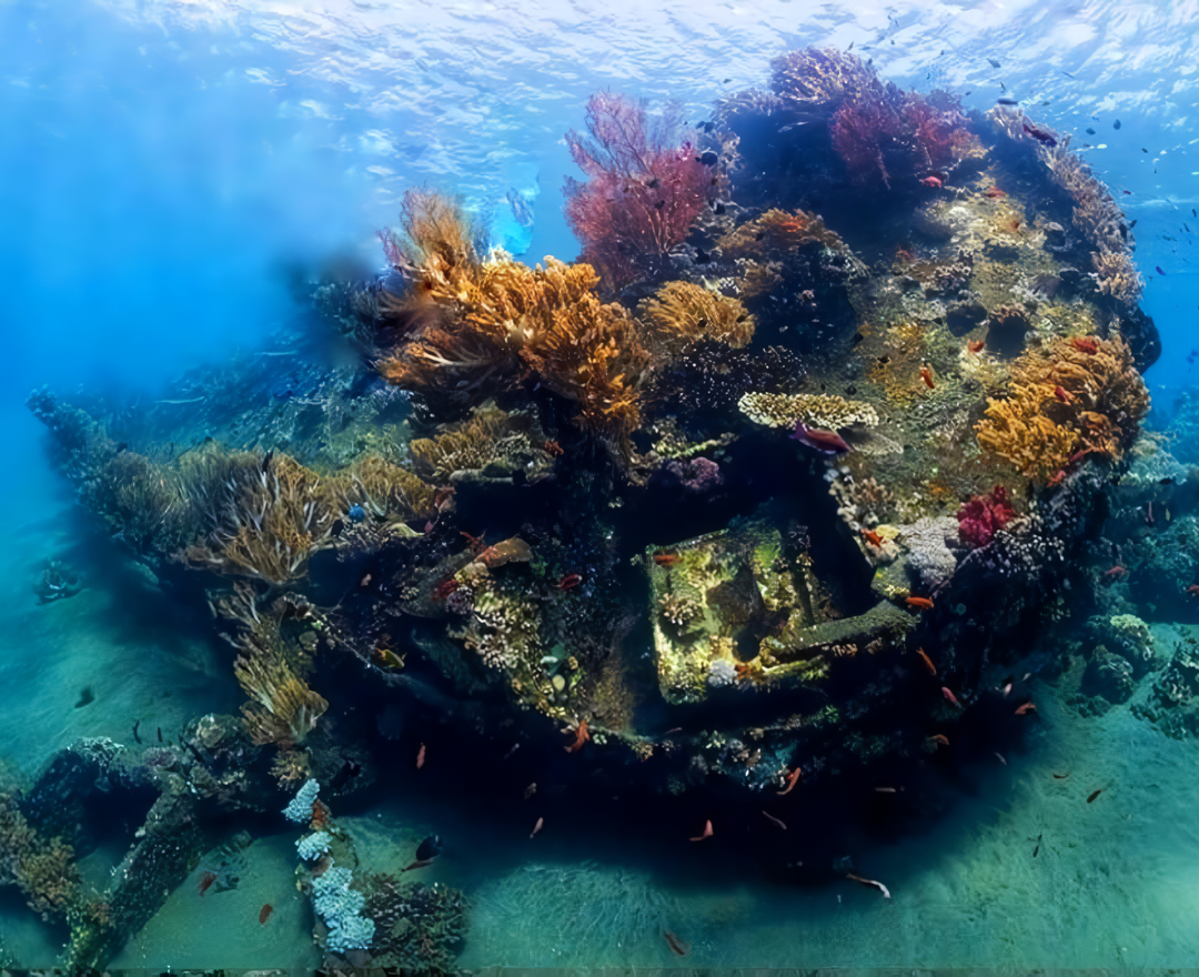
The Japanese Shipwreck lies in 6–12 meters of water 40 meters offshore from Banyuning Beach, its steel ribs colonized by soft coral and schooling jacks. The wreck spans roughly 25 meters bow to stern and sits upright on a sandy slope, its stern deeper than the bow. Jemeluk Bay, two kilometers south, offers the calmest water in Amed—a horseshoe cove with a gradual reef shelf that extends 50 meters before the wall drops to 18 meters. The bay's eastern headland shelters the site from most swells, and the reef top stays between 2–4 meters, making it the most beginner-friendly zone on the amed snorkeling map. Lipah Beach and Ghost Bay form the southern bookend. Lipah's reef runs parallel to shore for 200 meters, with scattered bommies rising to within one meter of the surface during low tide. Ghost Bay sits another kilometer south—a narrow beach flanked by rocky points where the reef hugs the shoreline and visibility often exceeds 20 meters. Between these anchor sites, smaller entry points at Selang, Bunutan, and Lean dot the coast, each offering shore access to coral gardens and walls that drop between 10–30 meters. Most snorkelers rent motorbikes to hop between sites, as the coastal road connects all entry points. Early morning arrivals between 07:00–10:00 capture the calmest water and clearest visibility before the wind picks up. Jemeluk Bay has the most infrastructure—warungs, rinse stations, and gear rental—while Ghost Bay and the shipwreck remain undeveloped save for small parking areas. The reef structure varies by site: Jemeluk's gentle slope versus the shipwreck's vertical profile versus Lipah's scattered coral heads. Each site is swimmable from shore without a boat, and the entire stretch from Japanese Shipwreck to Ghost Bay spans roughly six kilometers of coastline, all accessible 24 hours a day with no entrance fees beyond parking.

“The reef sits 10–50 meters offshore at most sites, with drop-offs starting at 3–5 meters depth.”
Timing

The Best Time to Use Your Amed Snorkeling Map

The best arrival window is 07:00–10:00, when water is calmest and clearest with peak visibility before the wind picks up. Planning your snorkeling sessions during these morning hours ensures optimal conditions for exploring the sites marked on your map.

Dry Season (May–September)

Moderate crowds

Dry, 26°C to 29°C. Consistent visibility for reef observation.

Low rainfall makes this the most reliable time for snorkeling.

Wet Season (October–April)

Fewer visitors

Humid, 27°C to 30°C. Occasional rain may reduce visibility.

Short, heavy showers are common but water remains warm.

Daily Mornings

Minimal crowds

—

Water is calmest and clearest with peak visibility before the wind picks up.

Verdict: The best time to use your Amed snorkeling map is during the dry season, specifically arriving between 07:00 and 10:00 on weekdays.

What to see

Key Locations on Your Amed Snorkeling Map

The coastline of Amed features distinct snorkeling environments ranging from protected bays to Japanese shipwrecks. Each site offers unique underwater topography and marine biodiversity accessible directly from the shore.

Jemeluk Bay

Jemeluk Bay

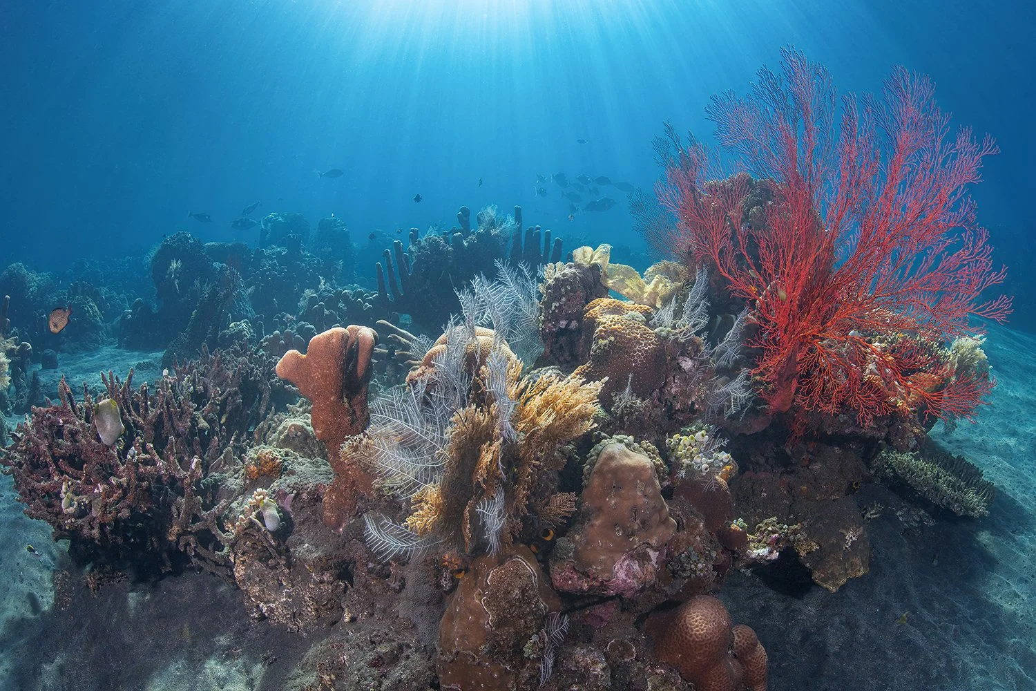
This central bay is known for its coral wall and the underwater post office structure that attracts various reef fish. The calm water makes it suitable for observing dense coral coverage.

Swim toward the reef wall to find the deepest coral sections.
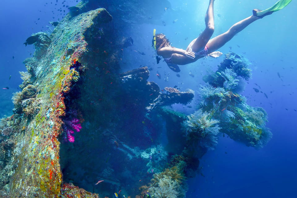
USAT Liberty Wreck

USAT Liberty Wreck

Located in nearby Tulamben, this world-renowned wreck sits in shallow water, allowing snorkelers to view the upper decks and surrounding marine life. The wreck is heavily encrusted with corals and serves as an artificial reef.

Stay near the shallower stern sections for optimal visibility.

Lipah Beach

Lipah Beach

This site features a Japanese shipwreck resting in shallow water surrounded by soft corals and seagrass beds. It is often less crowded than other bays in the region.

Explore the shallow sandy areas for the ship remains.

Amed Wall

Amed Wall

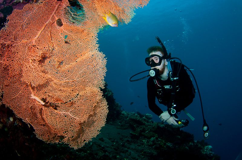
Located along the eastern stretch of the coastline, this site offers a steep drop-off covered in gorgonian fans and sponges. Stronger currents here often bring in larger pelagic species.

Snorkel during slack tide to manage the current effectively.

Directions

Getting to Your Amed Snorkeling Map Locations

Amed is located on the northeast coast of Bali in the Karangasem Regency. The most common approach is via private car or shuttle from major hubs like Denpasar or Ubud.

Car 2.5–3 hours —

Jalan Raya Amed via Jl. Raya Candidasa

Taxi 3–3.5 hours —

Direct transfer from Ngurah Rai International Airport

On foot Varies —

Local navigation along the Amed coastline

For the best conditions when using your snorkeling map, plan your arrival at your chosen site between 07:00 and 10:00. This window ensures peak water clarity before the wind increases.

Prices

Official Entrance Fees for Amed Snorkeling Map Spots

Access to snorkeling spots in Amed is generally provided free of charge, as these are public coastal areas. Some beach access points may require a nominal fee for vehicle parking.

General Beach Access Free public entry to snorkeling zones.
0 IDR
Motorbike Parking Standard fee at some locations.
5,000 IDR
Car Parking Standard fee at some locations.
10,000 IDR
Entry to the snorkeling areas is free for all visitors.

Verdict: A typical visitor pays 0 IDR for entry, though you should keep small change available for potential parking fees of 5,000 to 10,000 IDR.

Opening hours

Opening Hours for Amed Snorkeling Map Locations

The coastal snorkeling locations featured on the Amed snorkeling map are accessible to the public throughout the entire week.

Monday
00:00–23:59
Tuesday
00:00–23:59
Wednesday
00:00–23:59
Thursday
00:00–23:59
Friday
00:00–23:59
Saturday
00:00–23:59
Sunday
00:00–23:59
As these are open coastal areas, there is no official last-entry time.
Checklist

Amed Snorkeling Map Preparation Checklist

Arrive prepared to make the most of Amed's diverse snorkeling sites and calm morning conditions.

Book

Check availability

Frequently asked

Frequently asked questions about amed snorkeling map

Everything you need to know about amed snorkeling map

Is an amed snorkeling map necessary to find the best reefs?

While the coastline is accessible, an amed snorkeling map helps you identify specific entry points for coral gardens and shipwreck sites. It simplifies your journey across the various bays in Karangasem.

What is the best time of day to follow an amed snorkeling map?

You should aim to arrive between 07:00 and 10:00 to follow your amed snorkeling map effectively. During this window, the water remains calm and clear, providing optimal visibility before the wind increases.

Are there entrance fees associated with locations on an amed snorkeling map?

Most coastal access points listed on an amed snorkeling map are free to enter. You may encounter small parking fees ranging from 5,000 to 10,000 IDR at some specific locations.

Can I use a digital amed snorkeling map for navigation?

Yes, you can use a digital guide to explore Amed reef locations, which functions as a modern amed snorkeling map. Ensure your device is waterproof and your route is planned before entering the water.

Is snorkeling in Amed suitable for beginners?

The calm bays near Amed are excellent for beginners using an underwater chart or local guide. Shallow waters and gentle currents make it a safe environment to explore vibrant marine life.

Do I need to hire a guide if I have a map of Amed snorkeling spots?

While a map of Amed snorkeling areas is useful for planning, hiring a local guide can provide deeper insight into current conditions and hidden coral formations. They can help you navigate to the most interesting spots safely.

Keep reading

More guides & pages